Extreme weather poses increasing challenges to the agricultural sector. New insurance models based on satellite data may reduce the risk of drought for farmers, writes Prof. Robert Finger.
Climate change is increasing drought risk to many areas. Droughts already cause massive yield losses on a regular basis, and coping with this risk is becoming increasingly important to farmers. In addition to the use of irrigation systems and drought-tolerant crops, crop insurance could potentially play a major role. The global agricultural insurance market is growing rapidly, but few options focus on drought.
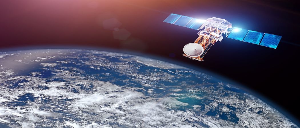
One promising approach to better drought insurance models that is yet to receive due attention involves the use of satellite data. The quantity and quality is increasing steadily, and well-validated, high-resolution data products are often freely available. This allows drought events globally to be monitored efficiently and in near real-time.
Objective, pragmatic and efficient
In a perspective piece in Nature Food, we examined the potential of satellites for drought risk crop insurance. Satellite-based measurements open up new possibilities, in particular for index insurance. In this alternative to traditional insurance models, the payment is based on an objective index rather than the actual damage to the crops. If a parameter that is being monitored (e.g. by satellite), such as soil moisture, falls below a critical level, the payout is made automatically.
This mechanism is especially suitable for drought, as this usually affects large areas: it ensures that farmers receive compensation quickly and unbureaucratically, even if crops fail at the same time throughout an entire region.
In addition, cultivation that was previously uninsurable, such as grassland and pasture, can be insured using satellites. The risk of drought here is high, but traditional loss adjustment methods are simply too expensive to apply to them. Spain and France, for example, already offer the first satellite-based insurance policies for grassland. This is highly relevant also to Switzerland, where grassland makes up more than 70 percent of all agricultural land.
Measuring plant growth from afar
Satellites can serve as a basis for insurance in a number of ways; they can determine vegetation indices, which can be correlated with crop losses in the event of drought, and soil moisture and evaporation from plants and the land surface (evapotranspiration) can also be measured efficiently. These variables are useful indicators of drought and resulting yield losses, which makes them suitable for drought insurance. However, they are not yet used in practice.
This form of insurance not only covers loss of production, but also might cover possible additional costs, such as from more intensive irrigation. If the payout is based on a regional drought index rather than actual yields, farmers will have an incentive to continue irrigating and producing, despite nearly complete insurance protection.
Blind to certain damage
Of course, these new opportunities also come with potential problems. Satellites do not reliably capture every single instance of damage in a field; consequently, an insurance may not cover all loss of income. In the worst case, insured farmers would be at a disadvantage to those without insurance; they would pay the insurance premium, but still incur the damage. However, a combination of good databases and well-designed insurance schemes could help reducing such problems.
Satellite-based monitoring data holds considerable potential for effectively lowering drought risk. Authorities could facilitate such insurance models by giving all those involved better access to relevant data sources. Improved access to satellite data and new insurance models also go hand in hand with the growing relevance of "smart farming" in agriculture.
This article was first published on May 7 by ETH Zurich.


 Receive the Funding Newswire [full access requires a subscription] each Tuesday, our Policy Bulletin each Thursday, and news about bridging Europe’s east-west innovation gap twice a month in The Widening.
 A unique international forum for public research organisations and companies to connect their external engagement with strategic interests around their R&D system.